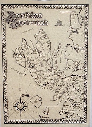
An t-Eilean Sgitheanach Map in Gaelic
Skye or the Isle of Skye (Scottish Gaelic: An t-Eilean Sgitheanach or Eilean a' Cheò) is the largest and most northerly island in the Inner Hebrides
of Scotland. The island's peninsulas radiate out from a mountainous centre dominated by the Cuillin hills. Although it has been suggested that the
first of these Gaelic names describes a "winged" shape there is no definitive agreement as to the name's origins.
This map is hand drawn and offers insights into the historical, archaeological, geographical, natural history and culture of the area.
The map is available either in A2, 420mm x 600mm approx, or A3, 420mm x 290mm approx. It is printed in black on quality parchment paper and supplied rolled in a postal tube.
Portrait - Size A2 and A3 available
A2 $40
